Today is the longest day! Not in terms of distance walked but in hours of daylight. 17.5hts of daylight at home. Meanwhile, I’m still struggling with 24hrs of daylight. I realised yesterday afternoon or, I should say, evening that the daylight affects more than just my sleep pattern. I normally have a rough idea of what time it is, looking at my watch is a confirmation, allowing me to work out exactly how many minutes I have left to get to Waitrose before it closes. Here I am frequently looking at my watching and being surprised to find it is 7 or 8pm!
This morning I tidied up my AirBnB, put the bed linen and towels in the washing machine, loaded the dishwasher and set it off. It was a very cute little apartment, a lucky find, costing me about the same for two nights as some of the central Lillehamer hotels were charging for a single night. And, thanks to the washing machine, everything I have with me is now clean (apart from my mind!)
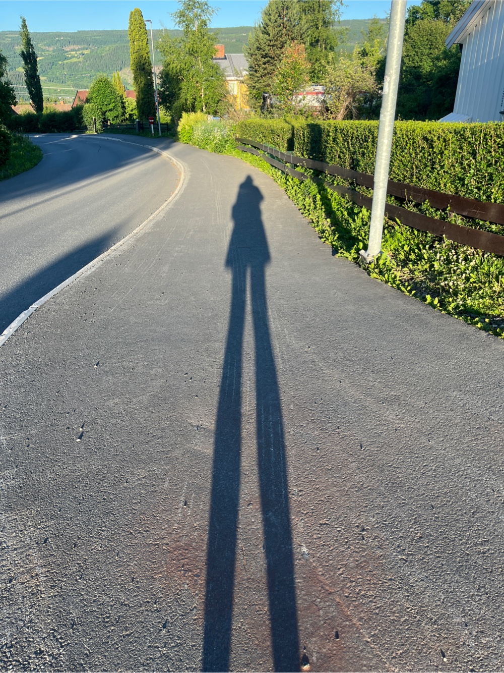
I set off on the path out of Lillehamer, walking through residential areas, taking note of the different architectural styles and doing an informal tally of the most popular makes of robot lawn mowers. I think Husqvana is winning - but I keep losing count!
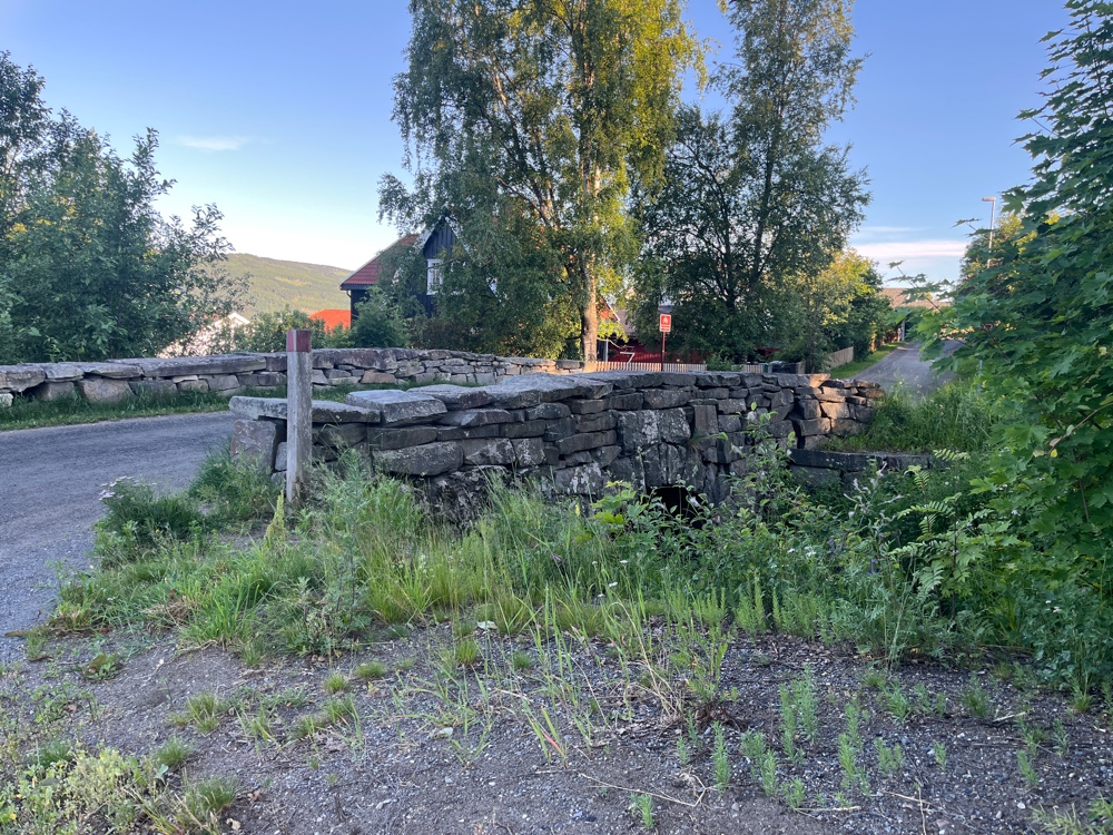
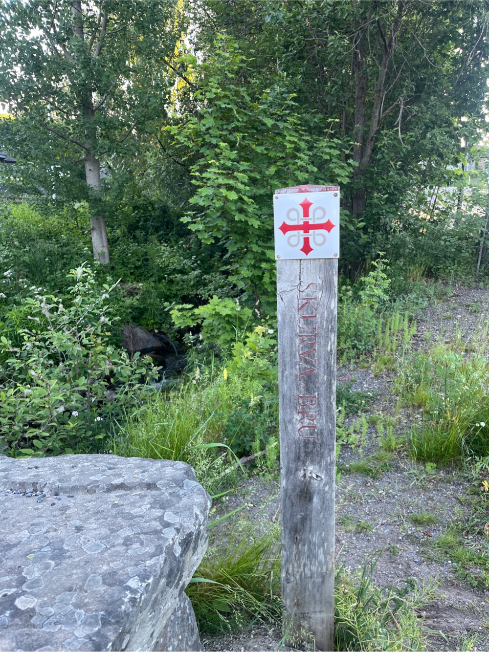
I knew I was on the right track when I crossed Skurva Bru. A stone bridge built by Engebret Heave in 1825 for 148 silver coins. So far so good. Pleasant, easy, slightly uphill walking with the near constant accompaniment of the sound of running water as rivers drained down to the lake in the valley below.
And then, following my online map as the markers were few and far between, I was about to go through an underpass when I just happened to notice a sign. Not a life changing, road to Damascus, but a sign nonetheless. It was set back from the path a bit and, quite often, I walk past these signs as they are often only in Norwegian. But this time I stopped.
 |
|
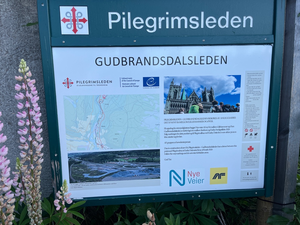
The sign told me that the path had been rerouted due to major roadworks to build the new E6. We were to ignore our maps and follow the route in the map on the sign and the way makers. I took a photo and followed the first way marker. The second way marker was AGES further down the road, slap bang in the middle of the opening to an underpass. I looked at my photographed map. There was no scale and no buildings were marked on it, but I knew at some point I had to cross this road, so it seemed like a good idea. I carried on, saw a couple of way markers and thought ‘Happy days!’ And then came to a fenced off bit! Oops - they were the old way markers. I trudged back up the hill. Comparing two versions of a similar map on a ‘phone screen in bright sunlight was not easy. I was also not helped but the infrequent route markers and route markers that had been moved. One was zip tied to a lamppost and had been moved to tell me to go 90° in the wrong direction. Fun times!
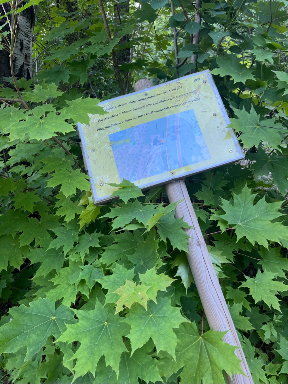 |
| This sign was upside down, in the road when I found it! |
I decided not to worry too much and plotted a course that would take me back to the path at a point I hoped the road work would be over. Luckily my map reading skills haven't totally deserted me!
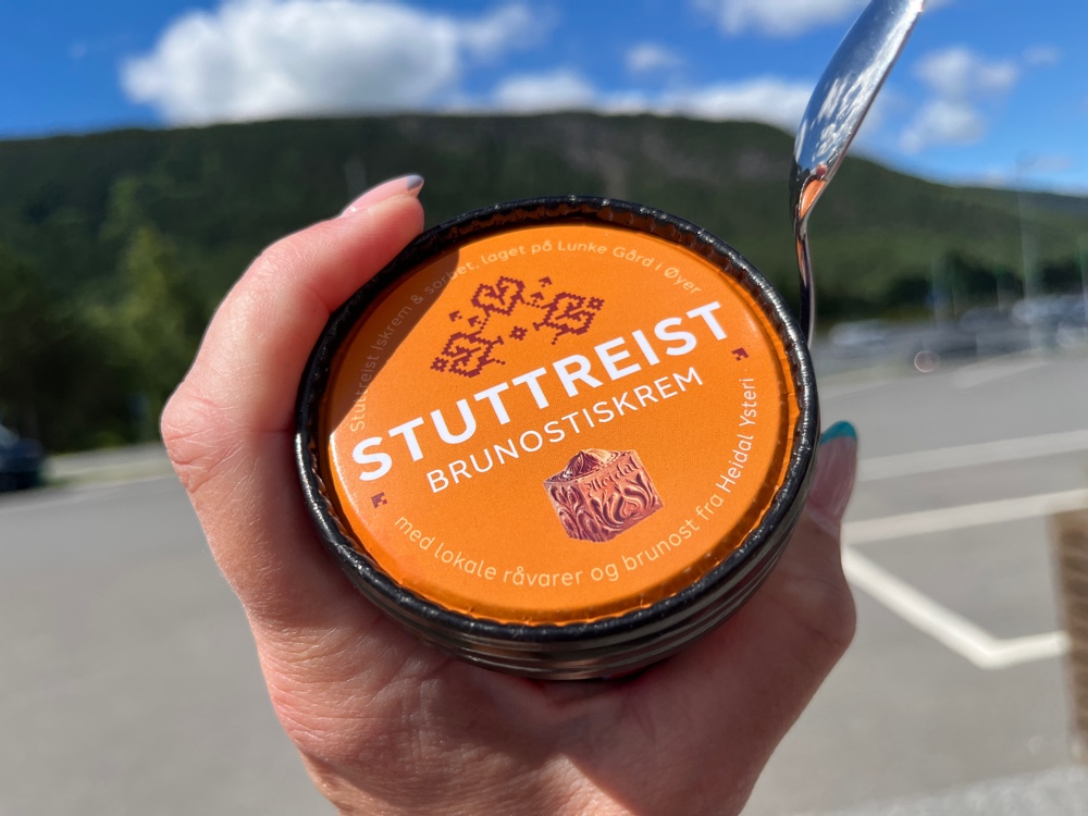
I thought today was going to be a long day but it seems I wrote the distance incorrectly. Either that or tomorrow is going to be a very long day! Soon after walking under cable cars I was at my stop for the night. I think I clocked just over 21km, and that includes a side track down into the centre of Oyer to post some postcards (and buy a brown cheese ice cream).

No comments:
Post a Comment